The Territorial Information Model (TIM) represents a transformative approach to spatial governance, merging cutting-edge technology with policy to address urbanization, environmental protection, and resource efficiency. Its role in shaping sustainable and resilient territories positions it as a cornerstone of modern spatial planning systems, both in China and as a model for other nations.
Currently, China faces multiple challenges in the practical implementation of the Territorial Information Model (TIM), including fragmented data sources from diverse stakeholders, incompatible data standards, incomplete coverage of essential spatial elements, and lagging real-time updates. These issues have become critical obstacles to modernizing territorial spatial governance. To address these challenges, SuperMap has developed the "Unified Data Framework"—a unified system designed to standardize data integration, ensure comprehensive spatial element coverage, and enable dynamic maintenance.
The "Unified Data Framework" constructs a new governance paradigm through three evolutionary stages—"Data Entity, Information Entity, and Intelligent Entity"—which reshapes the underlying logic of territorial spatial governance. This digital transformation path progresses from data convergence to governance rule mapping, ultimately forming an intelligent decision-making closed-loop, laying a digital foundation for modernized whole-element, full-cycle, and end-to-end territorial spatial governance.
1. Data Entity
Data Fusion: Building a Unified Digital Territorial Spatial Foundation
The "Unified Data Framework" transcends simple data aggregation. Using TIM architecture and digital technologies like resource codes and knowledge graphs, it systematically reconstructs global, full-element, and full-lifecycle data, achieving a governance leap from "fragmented to integrated" and "static to dynamic".
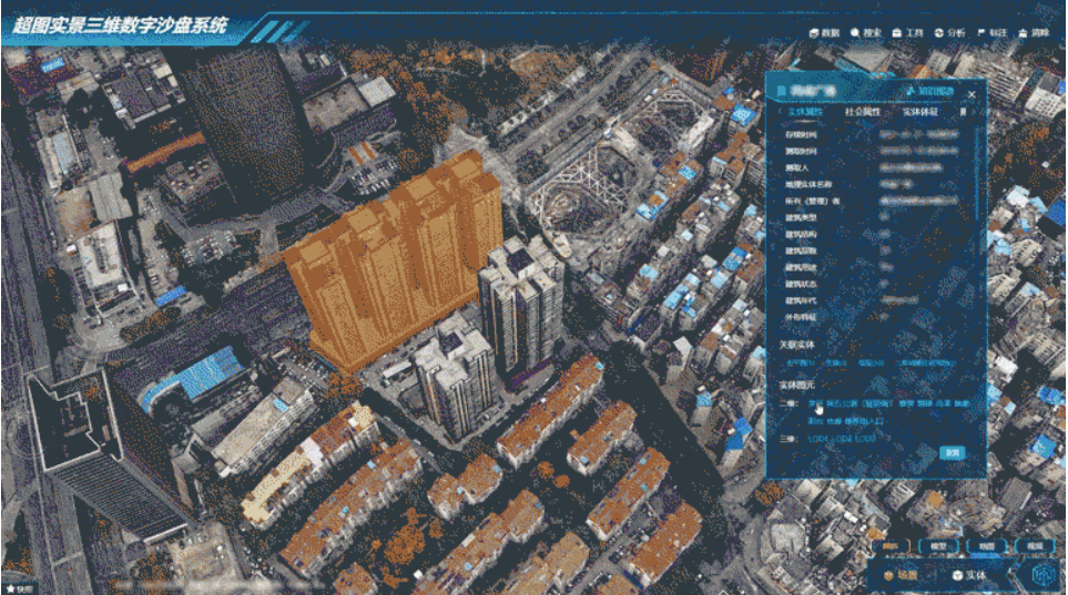
By integrating all elements, streamlining full processes, and enabling multi-dimensional perception, it converges natural resource data (current status, planning, management) with socioeconomic, demographic, and corporate data linked to territorial space. This creates a digital baseplate covering:
- Entire territorial space lifecycle
- Aboveground-underground integration
- 2D-3D unification
- Dynamic-static synchronization
Leveraging knowledge graph technology and data governance platforms, it identifies business objects/logical relationships, enables zero-code data modeling, and achieves object-oriented visualization/analysis. This makes the framework become the "X-ray" and "metric system" for territorial governance.

2. Information Entity
Knowledge Fusion: Upgrading Intelligent Governance Capabilities
Beyond digital representation, the Information Entity extracts and controls territorial operational logic. It translates complex policies, standards, and workflows into machine-readable monitoring indicators, control rules, and algorithms through domain expertise and NLP technology.
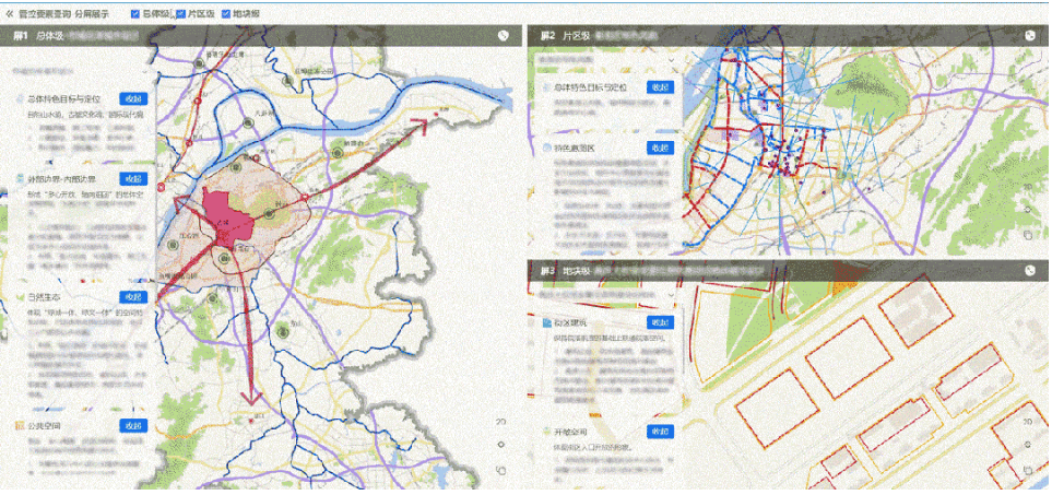
Deeply integrated with the data framework, it digitally encodes multi-scale spatial control elements/indicators/rules, enabling TIM to execute analytical, computational, and applicational functions. Through "digitized rules and penetrating governance", the system embeds governance logic into every land parcel and resource, ensuring rule-based management.

3. Intelligent Entity
AI Fusion: Innovating Full-Process Intelligent Governance
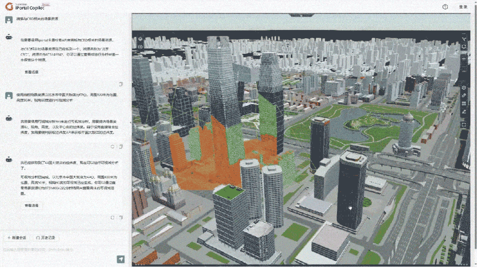
Building upon previous stages, this phase injects "neural networks" through AI algorithms, large models, and profession al toolkits. The Intelligent Entity evolves the framework from a "basic repository" to "new quality productive forces", establishing a spatial intelligence foundation for digital transformation.
Harnessing AI capabilities in reasoning, memory, and task coordination, it delivers MaaS (Model-as-a-Service) covering eight core governance chains:
- Unified survey & monitoring
- Integrated property management
- Holistic planning implementation
- Bottom-line safety control
- Unified land use regulation
- Coordinated development/utilization
- Comprehensive asset management
- Intelligent supervision & law enforcement
This supports cross-level/horizontal applications including:
- Spatial intelligence perception and change detection
- Automated approval workflows
- Dynamic monitoring & early warning
- Intelligent simulation & eva1uation
With continuous TIM system refinement, the vision of "harmonious human-nature coexistence" will materialize through digital-intelligent convergence.
