Territory Spatial Management Platform, or spatial platform, is a digital management system that integrates geospatial information, remote sensing, big data, and other technologies to coordinate the planning, monitoring, estimation, and optimization of land and resource utilization. Its core purpose is to enhance the scientific precision and efficiency of spatial governance by enabling data sharing, cross-department collaboration, and intelligent decision-making.
Current Challenges in Spatial Platform Construction
Currently, spatial platform development faces challenges including "network disconnection, incomplete data, platform fragmentation, and scattered applications." Governments urgently need to establish a unified spatial foundation (the "One Platform") to integrate existing multi-space platforms, implement scenario-based adaptations based on operational needs, consolidate computing power, data, and information system resources, and build next-generation spatial information infrastructure.
SuperMap's Breakthroughs
After over two decades of research, SuperMap has overcome key technical challenges such as multi-source heterogeneous 3D data fusion, distributed spatial computing, and cross-platform GIS compatibility.
These advancements address industry pain points in cross-domain sharing of large-scale, multi-type, multi-level, and full-cycle spatiotemporal data. Leveraging a unified architecture and underlying technology, SuperMap has developed the SuperMap Natural Resources Data Foundation (hereafter "SuperMap One Platform" or “One Platform”), achieving breakthroughs in core capabilities such as agile multi-dimensional scenario construction, intelligent application scenarios, and integrated 3D display&analysis.
01 Rich Components for Agile Multi-Scenario Development
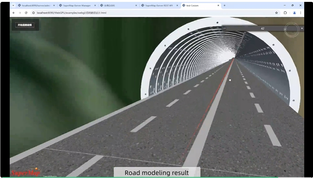
The SuperMap "One Platform" adopts a unified development framework with automated processing tools, rich operators, built-in multi-scenario templates, and component libraries. Equipped with page, form, report, workflow, and model design tools, it enables low-code application assembly. For example, in spatial planning scenarios, users can rapidly build planning supervision and impact assessment applications using built-in site selection and analysis components.

SuperMap "One Platform" Low-Code Page Designer
02 AI Integration: Large Models Empower Multi-Scenario Capabilities
The SuperMap "One Platform" has integrated mainstream AI models such as DeepSeek and Tongyi Qianwen, enhancing intelligent services including Q&A, knowledge summarization, remote sensing interpretation, text-to-image, and image-to-image generation. This bridges the "last mile" for AI adoption in natural resources management.
For example, in Shandong, the "Air-Space-Ground" monitoring system achieves 92% accuracy in AI-powered illegal construction detection, meeting law enforcement needs; an intelligent real estate registration assistant provides 24/7 instant responses, resolving complex, time-consuming processes; users leverage the platform's AI assistant to rapidly generate land parcel and enterprise profiles, enabling efficient and precise resource matching.

Intelligent Planning Image Generation
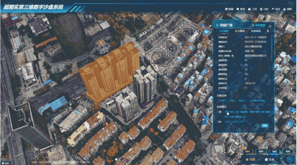
03 Integrated Display-Analysis: High-Fidelity Data Presentation
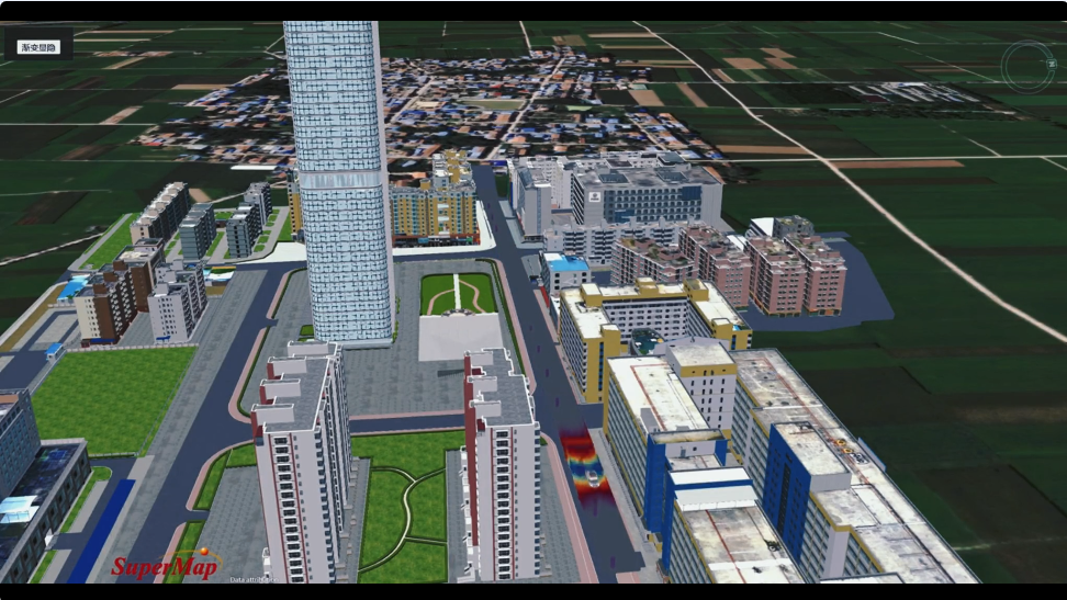
The SuperMap "One Platform" supports large-scale 3D data management, analysis, and computation, enabling integrated management and high-fidelity rendering of 70 million+ 3D buildings and 2 billion+ urban components.
It unifies visualization, query, review, and application workflows while facilitating fusion analysis of aboveground-underground, 2D-3D, and indoor-outdoor spatial data. Multi-dimensional correlation analysis of natural resource data provides critical decision-making support.

Unified 2D/3D Data Presentation
The SuperMap Natural Resources Data Foundation has empowered applications in Jiangsu, Shandong, Guangdong, Hubei, and other regions, covering land-use planning monitoring, farmland protection, disaster early warning, mineral resource security, and ecological governance. It has received 5 Geographic Information Science Awards, 12 China Geographic Information Industry Excellence Awards, and 1 National Surveying and Mapping Excellence Award.
Moving forward, SuperMap will continue enhancing its "One Platform" as the core framework for unified spatio-temporal data services. The platform aims to become the central hub for "One Map" data management, the primary channel for data resource sharing, and the gateway to digital scenario applications in natural resources management.