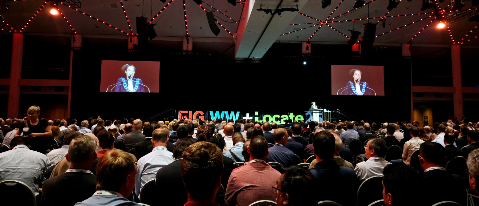
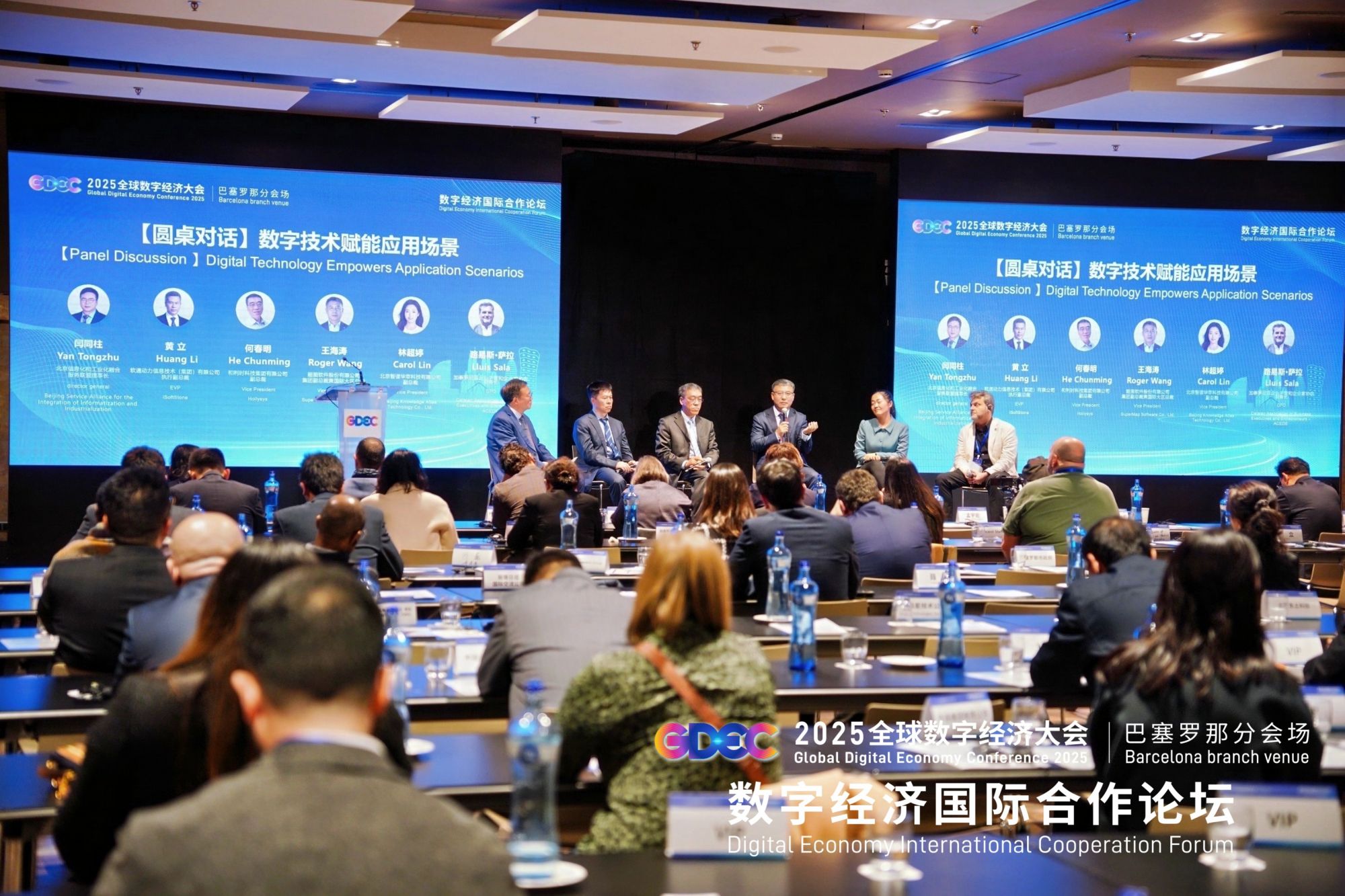
As the wave of digital transformation sweeps the world, geospatial intelligence software technology is becoming a key force in promoting the construction of smart cities and the development of the digital economy. SuperMap keeps pace with the times, actively participates in international exchanges and cooperation, displays innovative achievements and solutions in the field of GIS technology in all aspects, and discusses the application and future development of geospatial intelligence with industry experts.
01 SuperMap's first showcase at the Smart Nation Expo in Kuala Lumpur, focusing on digital transformation
From November 19th to 21st, the Smart Nation Expo was held in Kuala Lumpur, the capital of Malaysia. The theme of the conference was "Smart Innovations for Driving Digital". The event attracted more than 600 exhibitors from Southeast Asia and Europe and over 21,000 visitors. The Embassy of Hungary in Malaysia, the Ministry of Food and Safety of Malyasia, the Ministry of Science, Technology and Innovation, the Ministry of Housing and Local Development and many other government agencies participated in the exhibition.
The Smart Nation Expo has built a platform for communication between the government and enterprises, covering banking, transportation, energy, medical care, manufacturing, water conservancy and other industries. In its debut in the Exhibition, SuperMap displayed BIM+IoT+GIS, GeoAI, and 3D GIS related technologies, as well as solutions in smart cities, smart transportation, and real estate management, attracting many visitors to stop by, and have detailed exchanges with SuperMap team.

02 Joint participation in the K-GEO FESTA in South Korea with SPH with the remote sensing satellite system attracting attention
From November 6th to 8th, SuperMap and its Korean agent SPH participated in the K-GEO FESTA exhibition in South Korea for the first time. K-Geo is the largest spatial information technology exchange expo in Asia co-organized by the Ministry of Land, Infrastructure and Transport of Korea, Korea Airports Corporation and Korean National Railroad. This exhibition is themed "Digital Earth, making life better for everyone", with 142 companies and organizations from 25 countries participating and more than 13,000 visitors.

SuperMap and SPH jointly showcased the SuperMap GIS 2024, the latest series of software and application cases. The remote sensing satellite image management and application system jointly developed by SPH and Seoul National University is based on the service capabilities of SuperMap iServer including massive satellite image management, image visualization and analysis, and service expansion. The system has achieved the monitoring of changes in ship movement, water bodies, coastlines, and docks, attracting a large number of visitors to visit and communicate.
In the future, SuperMap will continue to deepen its spatial intelligence software technology, actively participate in international exchanges and cooperation, and contribute more high-quality solutions to the construction of smart cities.