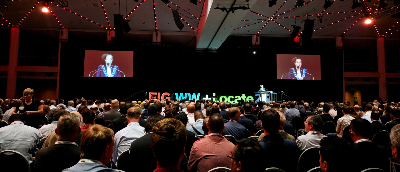
At present, digital twin cities are taking hold in the field of urban informatization, leading an unprecedented urban intelligent transformation.
How can simulation technology play a more important role in "digital twin" cities? SuperMap works with Dassault Systèmes, and applies geospatial intelligence software technology to the development of smart cities. Through exploring how simulation technology can meet the needs for intelligence, the two parties have developed a more valuable overall solution for digital twin cities.
In this cooperation, a major breakthrough in technology have been achieved. The two parties have opened up the data link from the structural and fluid simulation results of Dassault Systèmes's SIMULIA simulation system to the SuperMap GIS platform, realizing the dynamic display of simulation results of fine models at a large scene scale.
This will help express the internal operating status of urban infrastructure more intuitively, timely discover anomalies and potential risks, and issue early warnings, thus helping managers optimize the distribution and configuration of facilities.
The SuperMap Digital Twin Platform simulates the operating effects of facilities under different layout plans, selects the optimal plan, and helps managers formulate maintenance plans in advance, and reasonably arrange maintenance resources, so as to ensure the normal operation of facilities and extend their service life.
In terms of structural simulation, through the technical cooperation, the SuperMap Digital Twin Platform can load the model deformation process data of the finite element structural analysis software (Abaqus). By offsetting the model nodes according to the deformation value, the deformation process of the three-dimensional model is displayed, thereby realizing the fusion rendering of the simulation results and the spatial scene.

Deformation effect when vehicle driving on the elevated road

The deformation of the house during an earthquake
Abaqus can not only calculate the deformation of objects, but also accurately calculate the force distribution of geometric shapes. Through the cooperation, the two parties can dynamically integrate the change process of the force field in the operation of urban facilities with the model elements in the digital twin scenarios, so as to analyze the status of facilities more accurately and intuitively.

Analysis of the influence of vehicle driving on the stress of elevated road
In terms of fluid simulation, Dassault Systèmes' fluid simulation software technology can simulate the operation and change process of water flow in the real environment, dynamically display the change process of the fluid in the scene, and realize the integrated display of the impact field of the fluid on the facilities, which will provide a scientific basis for urban flood control and drainage, water conservancy system management, etc.

Simulation analysis of fluid flow, flow rate and impact force
In the future, the two parties will strengthen cooperation and further integrate the SuperMap GIS platform with Dassault Systèmes' simulation software to achieve real-time access to monitoring data, real-time calculation of simulation systems, and real-time display in the SuperMap Digital Twin Platform.
The two parties will seek more business scenarios in the fields of municipal transportation infrastructure, urban lifelines, urban flood control and waterlogging to create professional products, and jointly promote the research and development and application of digital twin + simulation technology.